
Geographic Information Systems Photography
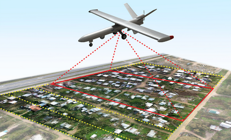
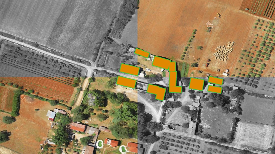
VAS can provide services to GIS professionals, to work more efficiently. With easy-to-deploy mapping drones, VAS can capture accurate aerial imagery and transform it into 2D orthomosaics (maps) and 3D models of small and medium sized sites – all on demand and without needing to hire expensive traditional winged aircraft or expensive satellite imagery.
Whatever field you work in – forestry, asset management, environmental protection, agriculture, humanitarian, remote sensing, oil and gas or another –VAS can provide very real benefits, providing accurate data, quickly and cost-effectively.
Whatever field you work in – forestry, asset management, environmental protection, agriculture, humanitarian, remote sensing, oil and gas or another –VAS can provide very real benefits, providing accurate data, quickly and cost-effectively.
|
|