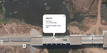
Vandermissen Aeronautical Solutions
  • Home
  • About
  • Services
    • Aerial Video & Photography
    • Motion Picture & News Filming
    • Real Estate Photography
    • Forestry & Agriculture Monitoring
    • Bridge & Tower Inspections
    • Disaster & Emergency Services
    • Mining Services
    • Project Monitoring
    • Geographic Information Systems Photography
    • Photogrammetry Designs & Topographic Mapping
  • Photos
  • Contact

Project Monitoring

Picture

Project Monitoring

When clients stay away from the job site and cannot afford to come to the site again & again & your current pictures are just not doing justice, drones can be an inventive way to keep them happy. You can use drones to quickly survey your job site and build maps. Instead of using human resources, heavy machinery & expensive surveying tools, that produce complex data, VAS can get the job done in half the time & money, with greater accuracy.
©2021 Vandermissen Aeronautical Solutions, LLC. All rights reserved. Website design by Plus Promos.
  • Home
  • About
  • Services
    • Aerial Video & Photography
    • Motion Picture & News Filming
    • Real Estate Photography
    • Forestry & Agriculture Monitoring
    • Bridge & Tower Inspections
    • Disaster & Emergency Services
    • Mining Services
    • Project Monitoring
    • Geographic Information Systems Photography
    • Photogrammetry Designs & Topographic Mapping
  • Photos
  • Contact